

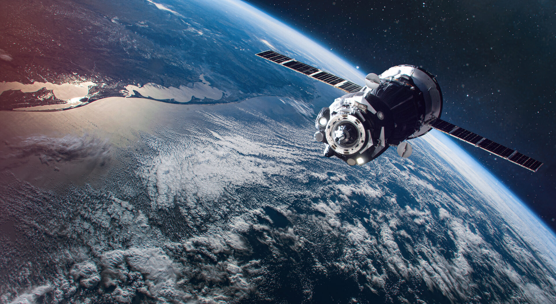
Weather has always been one of agriculture’s biggest wild cards, but today’s farmers have more information than ever before to help them understand what is happening in their fields and around the world. Beyond the forecast on your phone or the rain gauge outside the shop, satellites are constantly monitoring crop development, soil moisture and vegetation health across major growing regions. That information helps analysts compare this year’s conditions with previous growing seasons and identify trends that could influence both production and grain markets in the months ahead.
Nick Ohrtman is the Global Crop Intelligence Lead at EarthDaily. The company combines satellite imagery with weather data to monitor crops around the globe. He says North America has been in relatively good shape so far this growing season, but there are some emerging concerns in other key production areas.
While dry conditions in Australia and delayed monsoon rains in India could become important later this year, Ohrtman says satellite imagery also provides a detailed look at conditions much closer to home. Rather than relying on what producers see from the road or while scouting fields, the technology allows them to compare today’s crop with years of historical data and measure how different regions are performing across the Corn Belt.
Those comparisons are especially important as the growing season moves into late July and August. A crop that looks excellent today still has several important weeks ahead. Corn is entering one of its highest water demand periods, and weather during the remainder of the summer will play a major role in determining final yields.
The information isn’t just valuable for estimating yield potential. It can also help farmers make management decisions throughout the season. If satellite data shows a field is performing similarly to a previous high-yielding crop, that can give producers additional confidence when deciding whether to invest in fungicides, additional nitrogen, or other late-season inputs designed to protect yield potential.
Satellite imagery has become another tool in the farm management toolbox. While it doesn’t replace walking fields or checking crops firsthand, it gives producers a much broader perspective by combining real-time observations with years of historical data. As the crop continues through the heart of the growing season, those comparisons will help farmers monitor changing conditions and make decisions that could influence yields by the time harvest arrives.

